Methane is a greenhouse gas. It adds to global warming. Carbon dioxide is another greenhouse gas, but methane poses a greater threat. Thus, it is best to reduce its emissions.
Atmospheric processes can easily break down methane that is naturally occurring. But human-induced methane increases the atmospheric load. Anthropogenic activities such as agriculture, waste management (solid waste disposal sites or landfills), the oil and gas industry, mining industry, or burning of fossil fuels are responsible for methane emissions.

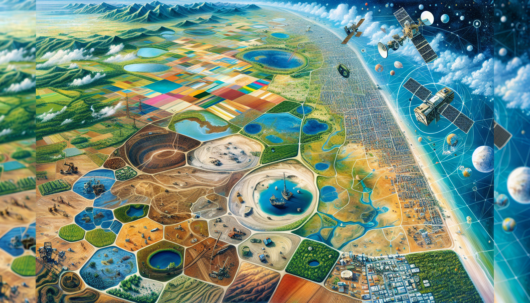
Can satellite-based sensors detect methane?
Yes! Plumes of methane emissions are detectable through satellite-based sensors. Methane gas molecules absorb light at certain wavelengths. These wavelengths lie within the shortwave infrared (SWIR) region. Some of the satellite-based multispectral/hyperspectral radiometers have the capability to sense light in this SWIR region as well. When we examine the sensed spectrum in the SWIR region, at certain wavelengths, spectral absorption will be apparent if the detected light has passed through methane. Further, if we can measure the intensity of this spectral absorption, we can determine the amount of methane present in the atmosphere. However, a technical challenge is there. The above-mentioned absorption may be due to other possible reasons, such as the influence of other gases in the atmosphere or the effect of weather on the spectral response. Thus, to isolate the methane signal, sophisticated algorithms are developed by the scientists.
Which satellite missions are capable of assisting in the detection of methane?
The missions listed below are useful for detecting methane (sorted as per their launching dates; the most recent is the last one). It is noteworthy to mention that their data is freely accessible.
Greenhouse Gases Observation Satellite, or GOSAT: It is a Japanese mission launched in 2009. It ensures global coverage with 10-km spatial resolution. It is the world’s first spacecraft to measure the concentrations of carbon dioxide and methane.
Sentinel-5P: It is a mission undertaken by European Space Agency (ESA). It was launched in 2017. It has a sensor named TROPOMI. It has daily global coverage with a 7-km spatial resolution.
PRISMA: It is an Italian hyperspectral imaging satellite, launched in 2020. Although it has a spatial resolution of 30 m, it can only provide data for the area for which it has been tasked, and hence global coverage is not guaranteed. Further, the data processing is costly due to the hyperspectral nature of the sensor.
EnMAP: It is under a joint US-German mission that was launched in April 2022. It has 30 m spatial resolution hyperspectral data with a global coverage.
EMIT (Earth Surface Mineral Dust Source Investigation): Although this mission of NASA was meant for detecting key minerals in dust-producing arid regions, it is also being used for its capability to detect methane plumes. It was launched in July 2022.
MethaneSAT: It is an American-New Zealand space mission, launched very recently (on March 4, 2024). Its data is not yet available. It is going to have a global coverage every 3-4 days. Even 100 m wide plume will be detected. It will generate data at a spatial resolution of 2.5 km.
How do measurements from satellite-based sensors differ from those taken on the ground?
We can use satellite-based sensors to get a much wider picture. This larger picture can help us identify major leaks quickly, prioritize, and focus our efforts on mitigating climate change. Alert systems can be created, and responses can be systematized. By analyzing the time series of these kinds of images, super-emitters can be found; deep learning and machine learning techniques are employed in the automated identification of super-emitters.
References:
High-Resolution Methane Mapping With the EnMAP Satellite Imaging Spectroscopy Mission | IEEE Journals & Magazine | IEEE Xplore. (n.d.). Retrieved March 30, 2024, from https://ieeexplore.ieee.org/document/10387469
Jacob, D. J., Turner, A. J., Maasakkers, J. D., Sheng, J., Sun, K., Liu, X., Chance, K., Aben, I., McKeever, J., & Frankenberg, C. (2016). Satellite observations of atmospheric methane and their value for quantifying methane emissions. Atmospheric Chemistry and Physics, 16(22), 14371–14396. https://doi.org/10.5194/acp-16-14371-2016
Plant, G., Kort, E. A., Murray, L. T., Maasakkers, J. D., & Aben, I. (2022). Evaluating urban methane emissions from space using TROPOMI methane and carbon monoxide observations. Remote Sensing of Environment, 268, 112756. https://doi.org/10.1016/j.rse.2021.112756
Storch, T., Honold, H.-P., Chabrillat, S., Habermeyer, M., Tucker, P., Brell, M., Ohndorf, A., Wirth, K., Betz, M., Kuchler, M., Mühle, H., Carmona, E., Baur, S., Mücke, M., Löw, S., Schulze, D., Zimmermann, S., Lenzen, C., Wiesner, S., … Fischer, S. (2023). The EnMAP imaging spectroscopy mission towards operations. Remote Sensing of Environment, 294, 113632. https://doi.org/10.1016/j.rse.2023.113632


