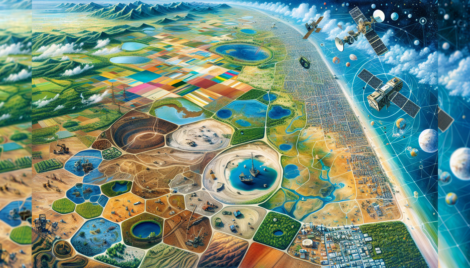
Today, optical remote sensing data have widespread availability, often coming with high temporal resolution and offering cost-efficient capabilities with established processing techniques, making them especially suitable for monitoring earth phenomena. The common examples of such sensors include those from Landsat, MODIS, and Sentinel-2.
It is well known that passive optical remote sensing sensors are designed to detect the light that is reflected from the earth’s surface. Various objects on the earth’s surface reflect differently when compared to each other. Some objects or covers (for example, vegetation cover) reflect more intensity of light in the near infrared region of the spectrum, while others (for example, water) do not reflect much in the near infrared region. The sensor is made sensitive to varying intensities of light, which it can record in the form of grayscale variation.

However, their is a challenge in the form of spectral saturation, specifically in densely vegetated areas with high values of above-ground biomass. The sensor can correlate well with areas with biomass up to a certain level, but it fails to respond accordingly when biomass increases further. Due to this, the image over high biomass areas may exhibit an intensity recorded lower than what it should have recorded based on the ground condition. Hence, the image produced may be misleading, causing false results or introducing uncertainty in the data analysis.
Why talk of spectral saturation?
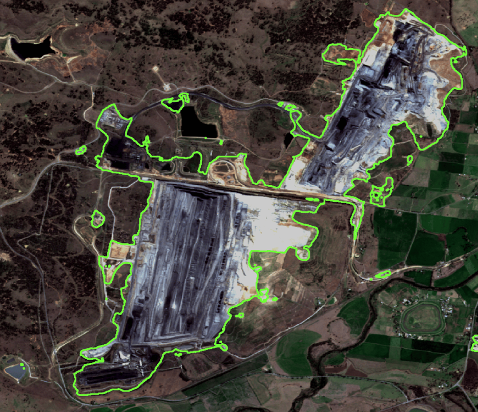
It is one of the technical challenges faced by the remote sensing community because there are certain areas on the earth’s surface that are highly reflective, at least at some point during the year. For example, dense forests. They reflect a high intensity of light in the near infrared region, so high that it surpasses the spectral saturation value, leading to inaccurate measurements. We often carry out forest above-ground biomass estimations based on optical remote sensing images. A misleading measurement will ultimately affect the accuracy of forest above-ground biomass estimation. It has been observed that in dense forest regions, the above-ground biomass was underestimated when using data from optical remote sensing technology.
One also needs to be cautious about the light intensity varying over time. The same object may reflect differently in different seasons of the year. For any area, when comparing optical remote sensing images acquired on two different dates, one needs to be wary of the spectral saturation value not getting crossed on any of the dates. The application that can be affected here is land cover change analysis.
How do we overcome the problem of spectral saturation?
Although there isn’t a common practice in the remote sensing community, there are a number of suggestions that could work.
1. By employing stratification
Stratification allows different approaches to be adopted for different areas. We can define stratified regions by quantifying the environmental effects on saturation value. For this, we need to understand the factors that influence the spectral saturation value. Factors such as soil, topography (slope), climate, and vegetation type have been observed to impact the spectral saturation values.
2. By employing machine learning or deep learning techniques
Analyses have shown that, using machine learning or deep learning techniques, the impact of the spectral saturation problem is reduced.
3. By integrating with alternative technologies
Another way is to integrate multiple alternative technologies, such as hyperspectral remote sensing, radar, and LiDAR, which are observed to have better correlation with applications such as forest above-ground biomass estimation. When compared to optical remote sensing technology, these technologies’ higher costs and increased data analysis complexity place restrictions on their adoption.
References:
Mutanga, O., Masenyama, A., & Sibanda, M. (2023). Spectral saturation in the remote sensing of high-density vegetation traits: A systematic review of progress, challenges, and prospects. ISPRS Journal of Photogrammetry and Remote Sensing, 198, 297–309. https://doi.org/10.1016/j.isprsjprs.2023.03.010
Zhao, P., Lu, D., Wang, G., Wu, C., Huang, Y., & Yu, S. (2016). Examining Spectral Reflectance Saturation in Landsat Imagery and Corresponding Solutions to Improve Forest Aboveground Biomass Estimation. Remote Sensing, 8(6), Article 6. https://doi.org/10.3390/rs8060469


