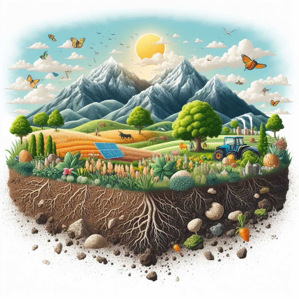
Increasing food security requires prioritizing improvements in agricultural sustainability and productivity. Globally, efforts are being made in the field of plant breeding—the science of improving plants to acquire desired traits—toward this end.
There are three main approaches being used to carry out plant breeding: One approach is genotyping, which focuses on gene-level modifications, the other is phenotyping, which focuses on determining observable traits, such as plant height, leaf size, fruit yield, disease resistance, and even drought tolerance. The third technique, called envirotyping, involves characterizing and quantifying the environmental factors that control plant growth and development.

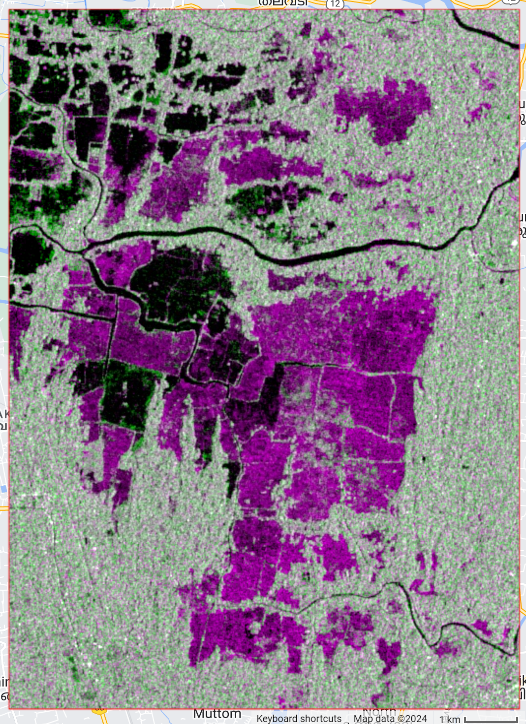
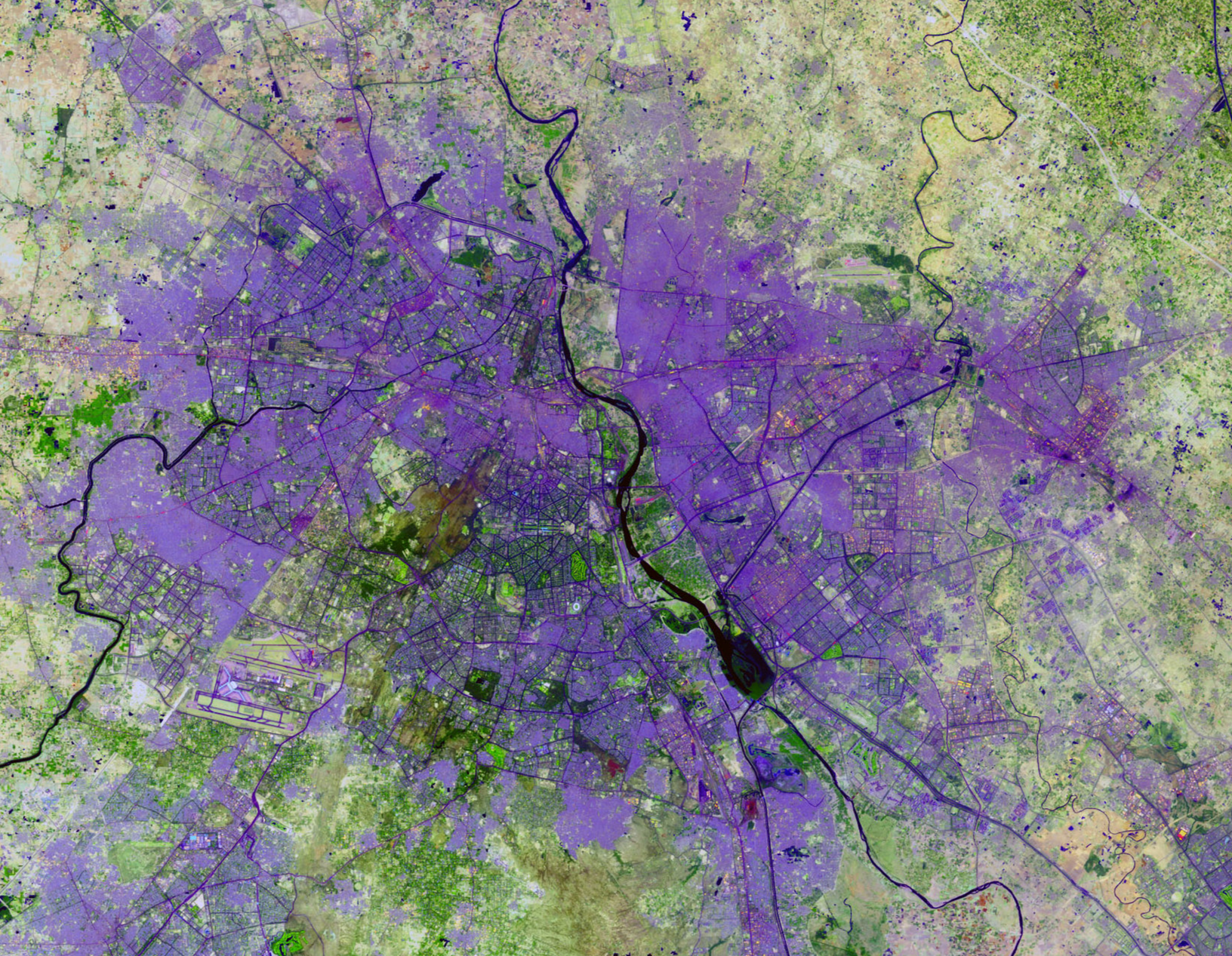
More specifically, when it comes to envirotyping, mapping out the environmental variables on a geographical scale is essential for examining plant health, growth patterns, and stress levels. Remote sensing technology facilitates rapid, large-scale data collection. Furthermore, different environmental data layers, such as soil composition, temperature, and rainfall patterns, can be overlaid with the aid of Geographic Information System (GIS) techniques.
This can help identify breeding locations that offer the ideal circumstances for a desired crop’s development. To help develop stress tolerance and create climate-resistant smart crops that can withstand scenarios of environmental change in the future, such assistance is necessary.


